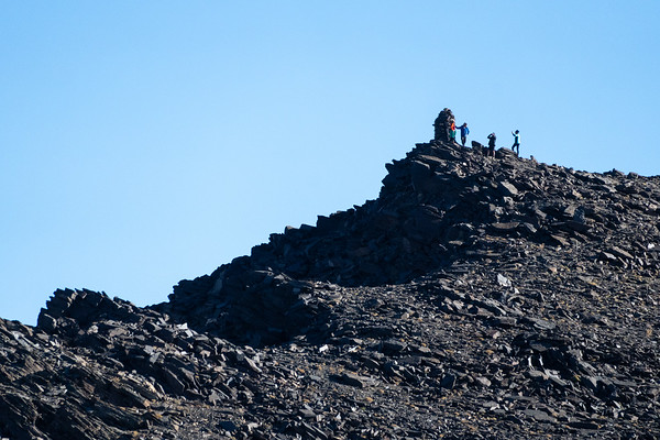
Ascending the 3000m Peaks of the Sierra Nevada
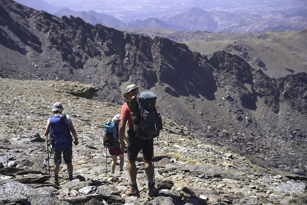
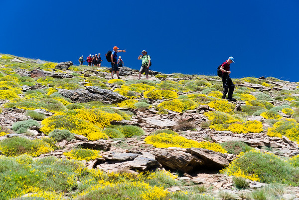
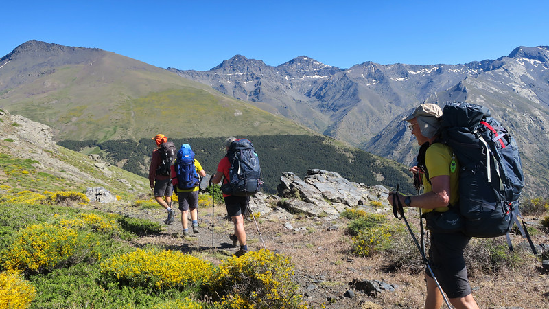
The main summits of the Sierra Nevada can be ascended by either 1 or 2 day trips. Why not tailor make your own activity holiday and include the ascent of some of the finest peaks in Spain? Below are some examples.
All prices include transport, guiding, camping gear and any other specialised equipment when necessary.
Seasonal note
In winter the ability to use crampons and ice axe is essential. Rope may be required for some ascents.
Learn the basics on a winter skills mountaineering course.
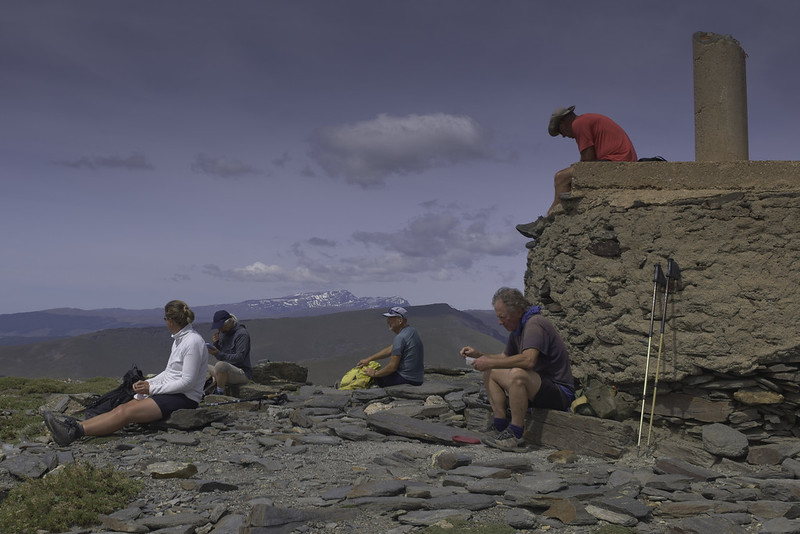
When we stay at the Poqueira Hut there will be a 15 euro supplement to cover the accommodation cost.
You may combine any of these trips into a week or 2 weeks walking.
Some ascents will require overnight bivvy in unguarded mountain refuges.
We had a perfect day of hiking with our guide! It was all we could have possibly wanted - fine weather, gorgeous landscapes, detailed knowledge of flora and fauna, and excellent company. We even got to see wild goats and processionary caterpillars. We hope to return! Kathleen111454, Massachusetts, via Trip Advisor
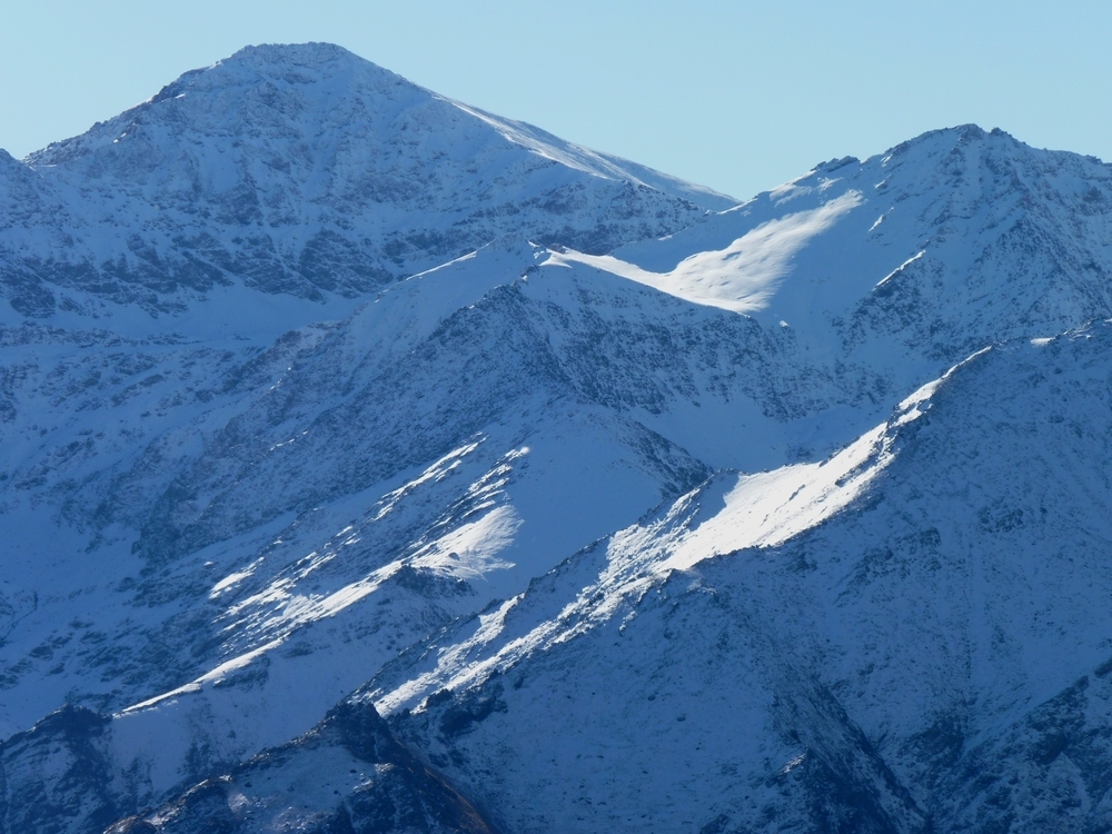
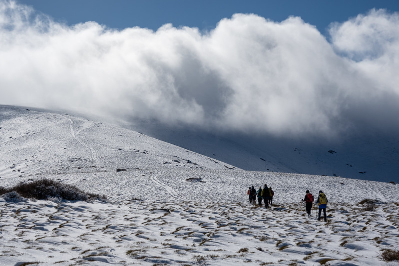
Winter Gallery
View Full Screen Images
Mountain Ascents in the Sierra Nevada
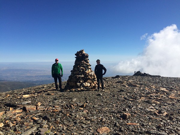
Veleta 3394m & mountain lakes
Moderate
| Distance: | 10 km |
| Ascent: | 350 m |
| Time: | 5.5 hrs |
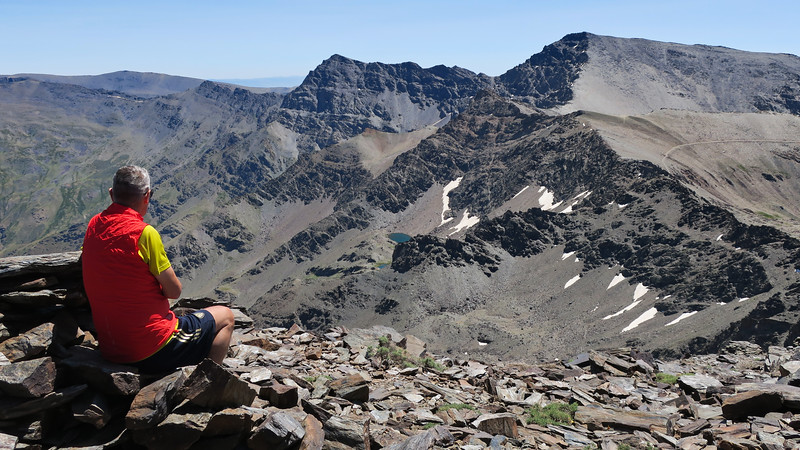
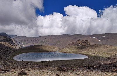
A summer hike up Veleta (3,394 meters), one of the highest peaks in Spain, and then down to the Lagunillas de la Virgen (and surrounding lakes) in the Sierra Nevada is absolutely stunning—both in scenery and experience.
At the summit, you get breathtaking panoramic views—you can see across the entire Sierra Nevada range, and on a clear day, even Africa across the Mediterranean. After the summit, heading southwest, the terrain gradually becomes more alpine-meadow-like as you descend toward the Lagunillas (Lagunillas de la Virgen and others).
The descent path is often dotted with wildflowers, mountain goats (cabras montesas), and sometimes patches of lingering snow. The lakes are glacial and beautifully blue, nestled in a dramatic bowl surrounded by peaks like Cerro de los Machos and Tajos de la Virgen.
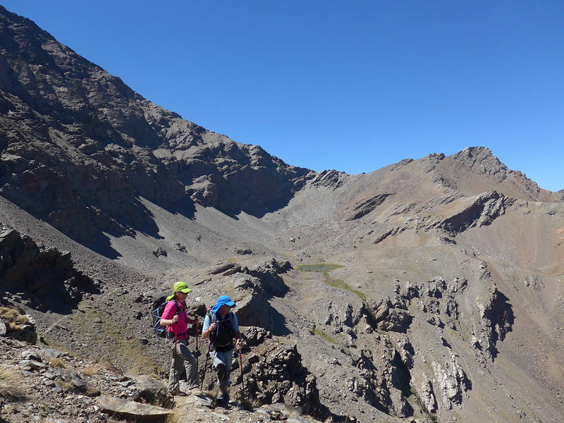
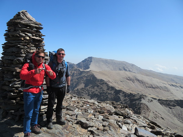
Cerro los Machos 3329m, Coral del Veleta
Moderate
| Distance: | 7 km |
| Ascent: | 520 m |
| Time: | 5 hrs |
Cerro de los Machos, standing at 3,329 meters, is one of the prominent peaks in Spain's Sierra Nevada. The hike to its summit offers adventurers a chance to experience breathtaking vistas, challenging terrains, and a touch of the region's rich history
Corral del Veleta: A dramatic glacial cirque nestled beneath the imposing cliffs of Veleta.
Panoramic perspectives encompassing the Sierra Nevada range, including the highest peak, Mulhacén, and on clear days, views stretching to the Mediterranean Sea and even the mountains of North Africa.
Morron Sanjuanero and Morron Hornillo
Moderate
| Distance: | 9 km |
| Ascent: | 606 m |
| Time: | 4 hrs |
Ascent to Morrón del Hornillo (2,375 m): From Puerto de la Ragua, hikers embark on a trail that ascends through reforested pine areas. The path may become less distinct as the tree line thins, but stone cairns often guide the way. Upon reaching the summit, adventurers are rewarded with expansive views of the surrounding landscapes.
Proceeding to Morrón Sanjuanero (2,610 m): Continuing along the ridge, the trail leads to Morrón Sanjuanero. This segment involves a steady ascent and offers hikers the opportunity to experience the unique flora and fauna characteristic of the high Sierra Nevada.
Alcazaba the Fortress
Tough
| Distance: | 22 km |
| Ascent: | 1150 m |
| Time: | 11 hrs |
Embarking on a hike to La Alcazaba (3,371 meters), the third-highest peak in Spain's Sierra Nevada, from Hoya del Portillo (2,150 meters) offers a rewarding challenge for seasoned hikers. This route provides stunning vistas of the surrounding landscapes and an opportunity to experience the diverse terrains of the Sierra Nevada.
Veredón Superior and Cerro de los Machos
Challenging
| Distance: | 10 km |
| Ascent: | 626 m |
| Time: | 5 hrs |
Upon reaching the Posiciones del Veleta, the trail leads to the Veredón Superior, an impressive natural corridor that descends into the Corral del Veleta.
After traversing the Veredón Superior, the path ascends towards the Cerro de los Machos, standing at 3,327 meters. The summit offers expansive views of the Sierra Nevada, including prominent peaks like Mulhacén and Alcazaba.
Tajos Altos from the west
Challenging
| Distance: | 12 km |
| Ascent: | 931 m |
| Time: | 9 hrs |
Ascent to Laguna Puesta del Cura: Begin at Fuente Fría, following a well-marked path that ascends through pine forests. As you gain elevation, the terrain becomes more rugged, transitioning to alpine meadows. Upon reaching Laguna Puesta del Cura, take time to rest and enjoy the serene environment.
Final Ascent to Tajos Altos: From the lake, the trail becomes steeper and rockier. Be prepared for some simple scrambling sections as you approach the summit ridge. Once at the summit, you'll be rewarded with panoramic views of the surrounding peaks and valleys.
Traverse of Chullo, Puerto de la Ragua
Challenging
| Distance: | 15 km |
| Ascent: | 600 m |
| Time: | 6 hrs |
Climbing Pico Chullo (2,611 m), the highest peak in the province of Almería, from Puerto de la Ragua is a rewarding yet relatively accessible high-mountain hike in the eastern Sierra Nevada. It’s one of the easiest 2,600+ meter summits in Spain and an ideal day hike.
Tozal de Cartujo
Very Tough
| Distance: | 14 km |
| Ascent: | 532 m |
| Time: | 8 hrs |
Embarking on a hike up the Tozal del Cartujo (3,152 meters) in Spain's Sierra Nevada offers a rewarding experience for seasoned hikers and mountaineers. This peak, located between the Lanjarón and Dílar valleys, provides panoramic views of the surrounding landscapes
Las Alegas via Barrancillos
Challenging
| Distance: | 10 km |
| Ascent: | 656 m |
| Time: | 7 hrs |
From the starting point, head north through the Barrancillos area. This section involves ascending a shallow gully, primarily pathless, with some goat trails through pine forests. After approximately 45 minutes, you'll reach the upper tree line and continue to the broad ridge leading to the summit of Las Alegas (2,700 meters).
From the summit, continue north for about 200 meters before descending westward to an old drover trail. Follow this trail south to reach the Refugio Cebollar (2,500 meters), a ruined refuge set in a picturesque alpine meadow with a natural spring.
Ascend alongside the forest edge to regain the broad ridge from the approach. Return via another shallow valley south of the ascent route through wooded slopes back to the starting point.
Lavaderos de la Reina and Northern Peaks
Very Tough
| Distance: | 22 km |
| Ascent: | 1115 m |
| Time: | 10 hrs |
Exploring the Lavaderos de la Reina alongside the northern peaks of the Sierra Nevada, such as Picón de Jerez and Puntal de los Cuartos, offers a captivating hiking experience through some of Spain's most stunning high-altitude landscapes.
Cerro de Caballo Tres Mojones ridge
Challenging
| Distance: | 12 km |
| Ascent: | 961 m |
| Time: | 7 hrs |
Ascending Cerro del Caballo (3,011 meters) from Rinconada de Nigüelas offers a rewarding hike to one of the Sierra Nevada's prominent peaks. This route provides expansive views and a satisfying summit experience.
The hike begins at the Mirador de la Rinconada, accessible via a dirt track from Nigüelas. From the Mirador, a path leads through pine groves, ascending steadily along the Loma de los Tres Mojones ridge. The trail continues along the ridge, offering panoramic views of the surrounding valleys and peaks. Approach the summit via a well-trodden path, culminating at the peak of Cerro del Caballo
Laguna del Caballo: A glacial lake near the summit, often frozen in winter months. Refugio del Caballo: A basic shelter located near the lake, useful in emergencies.
Ascent of Alcazaba via Cañada de Siete Lagunas
Very Tough
| Distance: | 22 km |
| Ascent: | 1770 m |
| Time: | 12 hrs |
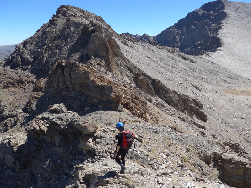
Alcazaba (3371m) is without doubt one of the finest mountains in the Sierra Nevada. Its very name ,’the Fortress’, invokes a feeling of invincibility and impregnability. It is surrounded by cliffs and yet to the south and east there are chinks in its armor that give pleasant ways to its lofty summit. There are three walking routes to the summit from Siete Lagunas. The route via El Colaero being the most spectacular
A round of the Río Juntillas and Treveléz valleys
Very Tough
| Distance: | 28 km |
| Ascent: | 2176 m |
| Time: | 16 hrs |
A multi day trekking route for lovers of solitude and wild scenery covering some unfrequented sections of the Sierra Nevada. The circular route goes up the Río Juntillas to the main ridge and descends the Río Puerto de Jérez. Covers 3000m peaks, remote situations together with abundant water and some delectable camping and bivouac spots. Few others will be seen above the Refugio Horcajo
A round of the Caldera peaks from Refugio Poqueira
Challenging
| Distance: | 10 km |
| Ascent: | 680 m |
| Time: | 6 hrs |
Two worthwhile objectives often neglected or bypassed in the rush to climb Mulhacén. Both peaks give impressive vistas over the northern precipices of the Sierra Nevada. There is some simple scrambling (mostly avoidable) up the east ridge of the Puntal de la Caldera
The Púlpitos from Refugio Poqueira
Moderate
| Distance: | 10 km |
| Ascent: | 667 m |
| Time: | 5 hrs |
Useful as a half day or acclimatisation trip from the refuge. The Púlpitos are quiet peaks, rarely ascended as they don’t reach that magical 3000m height, but they provide fine objectives for an easier day nevertheless
Pico del Tajo de los Machos and Cerrillo Redondo
Tough
| Distance: | 18 km |
| Ascent: | 1413 m |
| Time: | 9 hrs |
For those who like their mountains tough, rugged, wild and unfrequented this is a ‘must do’ route. A circular route full of interest, challenges and glorious scenery culminating in the ascent of a rarely visited 3000m peak
Veleta, Tajos de la Virgen and Lagunillas
Challenging
| Distance: | 17 km |
| Ascent: | 850 m |
| Time: | 7 hrs |
Embarking on a hike that ascends Pico Veleta (3,398 meters), traverses the Tajos de la Virgen ridge, and returns via the Lagunillas area offers an exhilarating experience in the Sierra Nevada mountain range. This route combines challenging ascents, breathtaking ridge walks, and serene alpine lakes, providing a comprehensive adventure for seasoned hikers. This route offers a fulfilling challenge, combining one of the highest peaks in Spain with a stunning ridge traverse and tranquil alpine lakes, encapsulating the diverse beauty of the Sierra Nevada.
Picón de Jérez and round of the Alhorí valley
Tough
| Distance: | 16 km |
| Ascent: | 1329 m |
| Time: | 9 hrs |
a circular hike that includes the ascent of Picón de Jérez (3,090 meters) and a traverse through the Alhorí Valley offers a rewarding experience in the Sierra Nevada region of Spain. This route combines high mountain scenery with lush valleys, providing diverse landscapes for hikers
Los Tres Miles Integral 3000m peaks
Very Tough
| Distance: | 56 km |
| Ascent: | 3569 m |
| Time: | 25 hrs |
We have a superb itinerary that we have been running since 2002. The only difference from the Classic Integral route from Jerez de Marsquedaso, is that we find an approach to the first 3000m peaks, Cerro Pelao and the Picon de Jerez is aesthetically nicer by starting from Trevelez in the south and following the valley of the Rio Trevelez. This puts us into position below just the main ridgeline at the end of the first day.
The main ridge is then followed over all the main 3000m+ summits of the range to the Cerro de Caballo, just before the long drop down to finish in the spa town of Lanjaron. In total you will climb 23 3000m+ peaks and be over 3000m for the majority of the trek.
Los Tres Picos - Veleta, Mulhacén and Alcazaba
Tough
| Distance: | 37 km |
| Ascent: | 2924 m |
| Time: | 18 hrs |
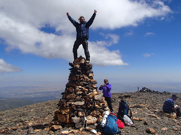
Tackling Los Tres Picos — Veleta (3,398 m), Mulhacén (3,479 m), and Alcazaba (3,371 m) — is one of the most epic and rewarding adventures you can do in the Sierra Nevada. These are the three highest peaks of the range (and mainland Spain), and connecting them in a multi-day trek is a serious but unforgettable high-mountain challenge.

Popular Mountain Ascents
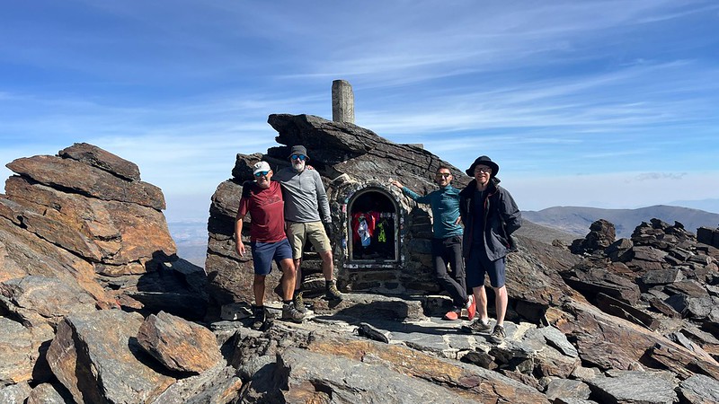
Mulhacen (3483 m) from the south
1 day - 8 to10hrs and 1300 metres ascent. From the Hoya de Portillo to the mirador de Trevelez. Up the south ridge. Return via the west flank and mirador. A long but rewarding day.
Mulhacen (3483 m) via Siete Lagunas
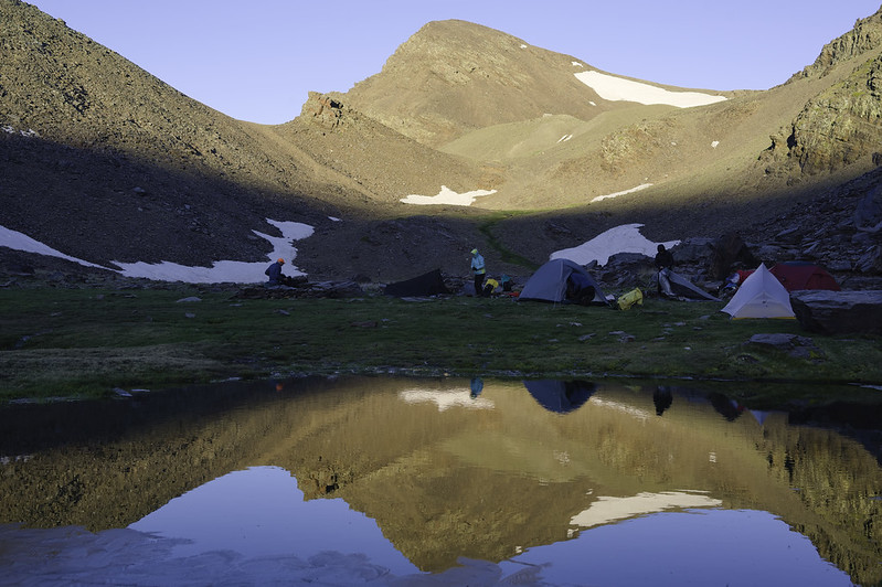
2 days. This takes us to the best camping site in the range, Siete Lagunas. A tough ascent up to Siete Lagunas followed by the gentler eastern ridge walk up to the summit. The return is made down the south ridge to Alto del Chorrillo. Camping at Siete Lagunas, is one of the delights of camping here is the morning sunrise over Laguna Hondera, with the line of the Sierra Nevada mountains stretching away to the east towards the distant hills of Almeria.
Mulhacen (3483 m) via Poqueira Hut
2 days. Travelling light we traverse Mulhacen utilising the Poqueira Hut overnight. The hut is guarded with beds, blankets, meals etc
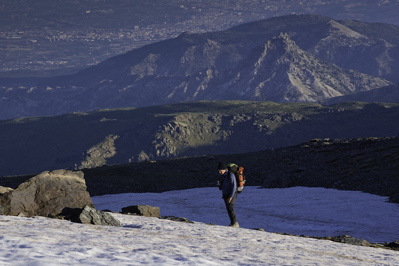
Veleta (3394 m) from the north
1 day - 5 to 6hrs and 900 metres ascent. Straightforward walking from a high start point. We first ascend Los Machos from the Corral de Veleta and then Veleta itself, returning down the north ridge.
Tajos de la Virgen Traverse including Pico de Cartujo
1 day - 5 to 6 hrs and 500 metres ascent. An interesting day with some simple scrambling.
We just completed a 2 day trek to the highest point in Spains mainland with Spanish Highs. This was such an amazing experience and to make it even better the guides were the best and our entire group summited. We felt in safe hands the whole time and the view from the top was worth the slog. Highly recommend them! Cameron M

Remote Unfrequented Summits
Alcazaba (3371 m) from Trevelez
2 days. Alcazaba is the most difficult peak to ascend because of its remoteness. We stay overnight at Siete Lagunas. This makes an interesting 2 day trip in which other peaks may be ascended en route.
Puntal de la Caldera (3225 m) via Poqueira Hut
2 days. A fine ridge scramble which may be combined with Mulhacen if required.
Cerrillo Redondo (2909 m) & Tajos de los Machos from Puente Palo
1 day - 6 to 8hrs and 1400 metres ascent. A long day doing a round of the peaks surrounding Puente Palo. For those who like their mountains rough, rugged, wild and unfrequented, this is a 'must-do' outing. A circular route full of interest, challenges and glorious scenery culminating in the ascent of a rarely visited 3000m peak. N.B In winter this route could take two days, giving an opportunity to spend a night in the old Refugio Cebollar.
Cerro de Caballo (3009 m) from Lanjaron
1 day - 5 to 7 hrs and 1000 metres ascent. The most southerly 3000m peak in the range gives fine viewpoints. A long ascent of Europe’s most southerly 3000m peak, ascending high above the Lanjaron valley and then descending with extensive views towards the western mountains and plains.
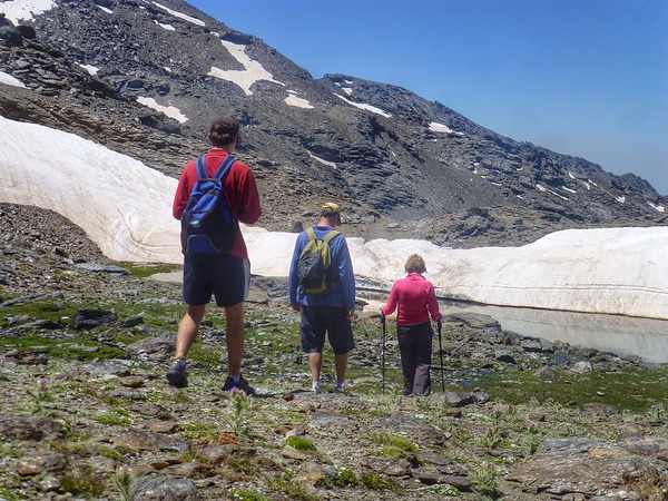
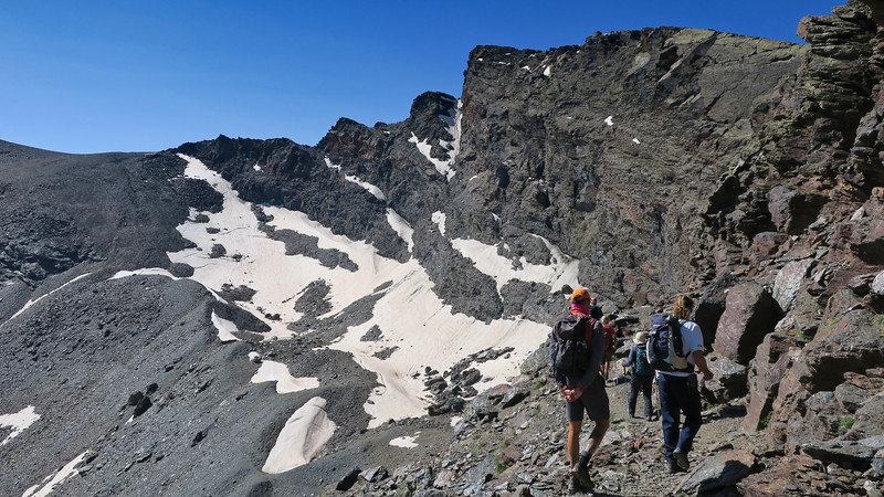
Summer Gallery
View Full Screen Images
Dates & Prices
When?
Prices
Group size (per booking): (prices are per person per day)- 1 person - cost €130
- 2 persons - cost €85
- 3 persons - cost €75
- 4 persons - cost €65
Definition of "Group" - if you are booking a trip for 2 persons the 2 person rate applies, 3 persons - 3 person rate etc (not dependent on eventual total group size!).
Price includes:- Guiding
- Backup vehicles
- We have a limited number of walking poles for the use of guests if required
- Gear hire in winter conditions ie ice axe, crampons, helmet. Also stove if required.
Larger groups - discounts apply. Enquire via email or contact form
Transport (effective for all bookings after 1st July 2022)
The guiding price above does not include transport. Due to rising energy and fuel prices we do not want to be constantly changing guiding prices to reflect transport costs. We want to be honest and open about our price structure.
Clients have two options:
NO COST OPTION - Pick up/drop off our guide in Lanjaron or a venue to be agreed. Use your own transport to and from the start/end of activity.
COST OF FUEL OPTION - Our guide will drive you to/from start/end of activity in one our own vehicles. Applicable costs are:
- Capileira, White Villages, Taha del Pitres €25
- Hoya del Portillo €35
- Sierra Nevada ski area €35
- Granada area, Cumbres Verdes €20
- Peñon de la Mata €25
- Lecrin Valley €15
- Jerez de Marquesado, Eastern Sierra Nevada €60
N.B For destinations not listed above we can easily work out a fuel cost
You may also be interested in?
Guided Trekking Tours in the Sierra Nevada, Spain
Sierra Nevada trekking holidays and tours inc Mulhacen, Veleta, ridge traverse, Siete Lagunas and high peaks. Day or multi day treks from Lanjaron, Capileira or Granada
Tres Miles 5 day trek Sierra Nevada Spain, 3000m mountains
A stunning high altitude guided trek, wild camping, traversing the main 3000m peaks of the Sierra Nevada in quiet and remote mountains. This is Los Tres Miles!
Climb Mulhacen, Sierra Nevada, highest mountain in mainland Spain
Guided day or multi day ascents year round of Mulhacen in Spains Sierra Nevada. Climb it, trek it, scramble it, ski it or even sleep on it!
Guided Trek Sulayr GR240 Long Distance Path, Sierra Nevada
Week long guided trek along the northern section of the Sulayr long distance path that encircles the Sierra Nevada mountain range in southern Spain
Guided Trekking in Los Glaciares National Park, Patagonia
Tours around Cerro Torre, Fitzroy and Paso Viento. Day and multi-day trekking and hiking from El Chalten, Patagonia