
Lanjaron, "Puerta de la Alpujarra"
Why not stay a while in the friendly town of Lanjaron and enjoy a series of walks here? Lanjaron is rightly billed as the "Door to the Alpujarra". It is quite centrally located for not only the Alpujarra but also the coast, just 30 minutes away and Granada, 40 minutes away. There are plenty of hotels, guest houses, villas and apartments for all tastes and budgets.
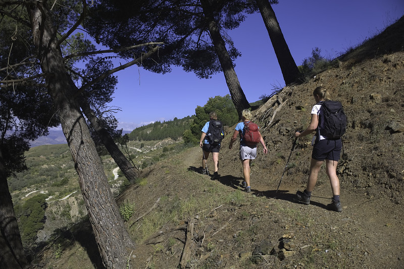
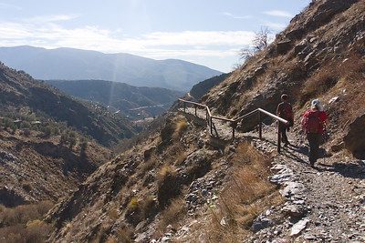
The hiking too has a lot of variety from easy half day rambles to full on challenging day routes.
We can assist with accommodation or it is very easy to book using either booking.com or hotels.com. There are lots of bars and restaurants in the town.
Then let our knowledgeable local guides show you the best of the area. Below we detail some of the walking routes available from the town to give you an idea.
When?
Day Hikes from Lanjaron
Huerta de las Monjas
Leisurely
| Distance: | 5 km |
| Ascent: | 263 m |
| Time: | 2 hrs |
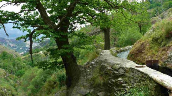
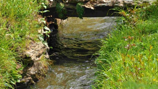
Acequia Waterways: The trail prominently features traditional irrigation channels, known as acequias, integral to the region's agricultural practices. Hikers will follow these waterways, providing both scenic beauty and insight into local water management.
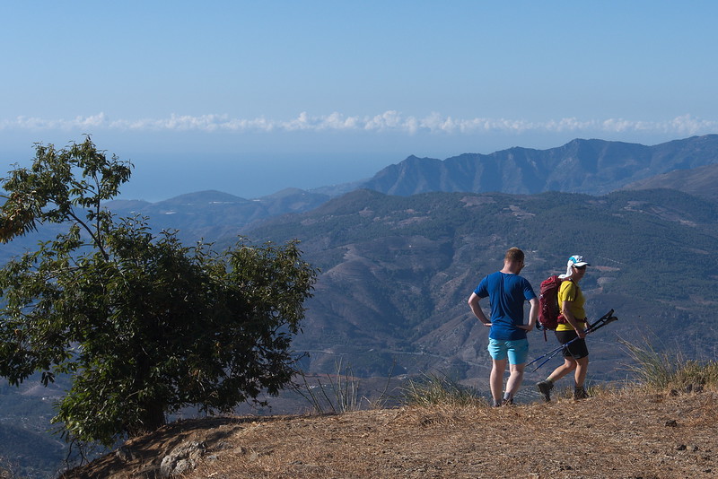
Scenic Views: Throughout the hike, there are expansive views over the Río Lanjarón Valley and, on clear days, vistas extending towards the Mediterranean coast.
Ruta Peñuelas Forestal, Lanjaron
Leisurely
| Distance: | 8 km |
| Ascent: | 376 m |
| Time: | 1 hrs |
The Ruta Forestal-Peñuela is a circular hiking trail near Lanjarón. The trail begins in the center of Lanjarón, near the Ermita de San Roque, and is well-marked throughout.
As you embark on the hike, you'll traverse lush pine forests, cross various streams, and encounter small waterfalls, especially during wetter seasons. The ascent leads you above the tree line, rewarding you with panoramic views of the Lecrín Valley, including the Embalses de Rules and Beznar reservoirs. On clear days, it's possible to see as far as the Mediterranean Sea.
Acequia Mezquerina, Lanjaron
Moderate
| Distance: | 10 km |
| Ascent: | 647 m |
| Time: | 5 hrs |
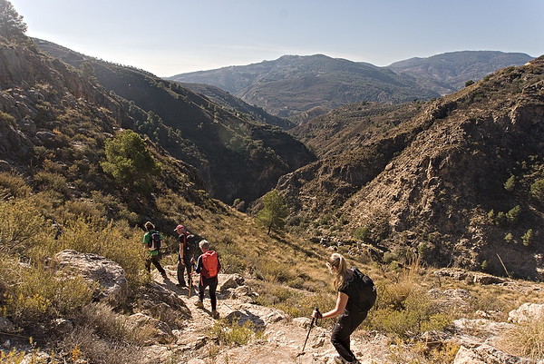
The Acequia Mezquerina Walk is a challenging circular hiking route near Lanjarón, Granada, offering an immersive experience through the natural landscapes of the Alpujarras.
The trail prominently features traditional irrigation channels, known as acequias, which are integral to the region's agricultural practices. Hikers will follow these waterways, providing both scenic beauty and insight into local water management.
Throughout the hike, there are expansive views over the Río Lanjarón Valley and, on clear days, vistas extending towards the Mediterranean coast.
Ruta Pescados, Lanjaron
Moderate
| Distance: | 11 km |
| Ascent: | 387 m |
| Time: | 4 hrs |
This is a relatively new route that celebrates the route that fishermen from the coast used to take to deliver their fish to the mountain villages.
We leave our hotel and follow a well marked path to a viewpoint over the town and surrounding mountains. Then we descend towards the Rules Dam following green streams and valleys. Climbing up to another viewpoint we meet a swing chair installed by the town hall.
A short stretch of road walking follows before we drop down steeply into the lush Rio Lanjaron valley, below towering cliffs. The steep climb back up to the castle in town isn't as bad as it looks as the trail is well graded.
Bordaila - Acequia Nueva
Challenging
| Distance: | 11 km |
| Ascent: | 840 m |
| Time: | 6 hrs |
The hike begins in Lanjarón, ascending through the Barranco del Río Lanjarón along a cobbled path leading to the Casa Forestal de Tello. This section offers panoramic views of the valley, the high peaks of Sierra Nevada, and the distant coastline. Along the way, hikers will encounter grand castaños (chestnut trees), cross the Río Lanjarón in a secluded and lush setting, and return to Lanjarón alongside the Acequia Montalbán, walking along its edge and passing by a picturesque waterfall.
Cerecillo - Mezquerina
Challenging
| Distance: | 13 km |
| Ascent: | 981 m |
| Time: | 5 hrs |
The Cerecillo-Mezquerina Trail is a challenging circular hiking route near Lanjarón, Granada, offering an immersive experience through the natural landscapes of the Alpujarras.
The trail prominently features traditional irrigation channels, known as acequias, integral to the region's agricultural practices. Hikers will follow these waterways, providing both scenic beauty and insight into local water management.!
Throughout the hike, there are expansive views over the Río Lanjarón Valley and, on clear days, vistas extending towards the Mediterranean coast.