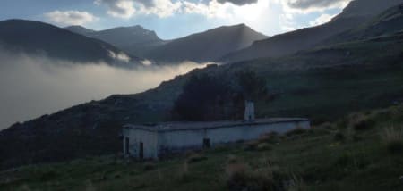
A walk alongside the Rio Trevélez to the junction with the Rio Juntillas and then a steep climb up to the Refugio Horcajo set in a stunning location amid high peaks.
Although I had walked down the Rio Trevelez from the high peaks of the Sierra Nevada on numerous occasions, I had never visited the Refugio Horcajo, which sits on a little plateau next to a small river at approx 2220m.
We had a group doing the fantastic 3 day trek "3 day trek crossing the Northern Sierra Nevada" from the Vereda de Estrella (Güejar Sierra) over the 3000m peaks of Picon de Jerez, Puntal de los Cuartos, Atalaya and Pico Cuervo before descending to the Refugio Horcajo, and coming out to the village of Trevélez in the Alpujarras.
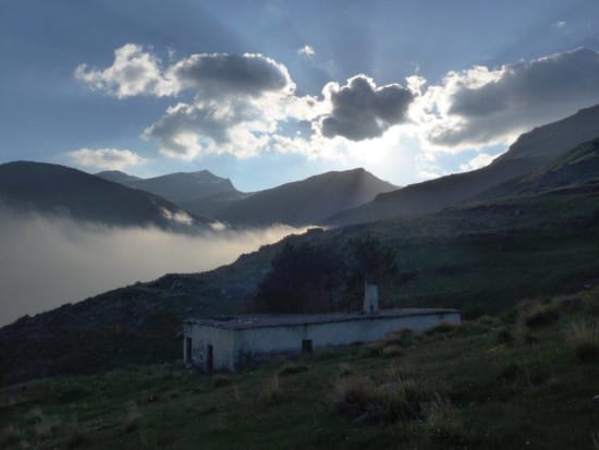
Late afternoon clouds gather above Alcazaba
This particular group were spending the last night of the trek at the Refugio Horcajo. A good chance for me to walk up to meet them, see the refuge, enjoy a night in the mountains and also provide the group with some much needed red wine!
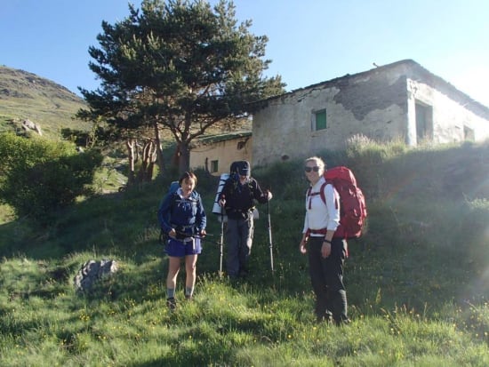
Leaving the Refugio Horcajo
I left Treveléz at 2pm and under the hot May sunshine began walking the route up the valley. The path is very well marked as it is frequented by the "vaqueros" and their dogs who make the daily journey up to the valley head to tend to their cattle.
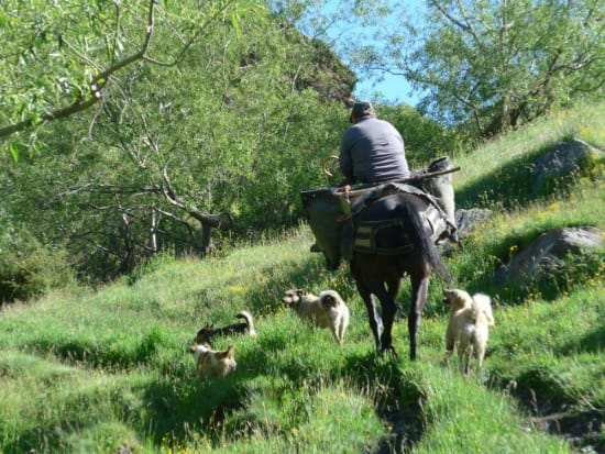
Old traditions still at work here
This fact, combined with the numerous water "acequias" flowing into the river along the route, make for a very muddy path. The muddiest in the Sierra Nevada without a doubt. Indeed, I suspect also the muddiest in the whole of Spain!
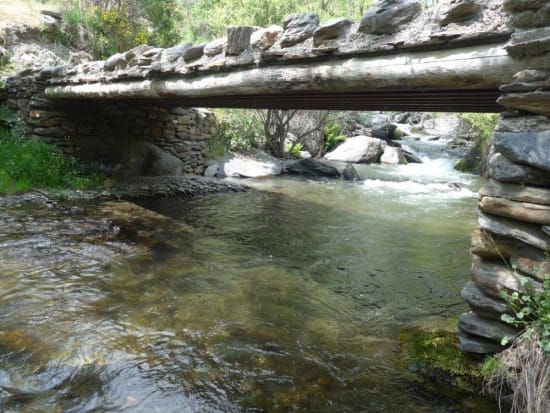
Bridge over the Rio Trevélez
But it is a particularly beautiful and interesting journey. The water means plenty of greenery. Wild flowers and orchids abound. Always there is the accompanying sound of running waters. The mind forgets the rigours of the muddy path and one blindly splashes through the pools in gay abandon.
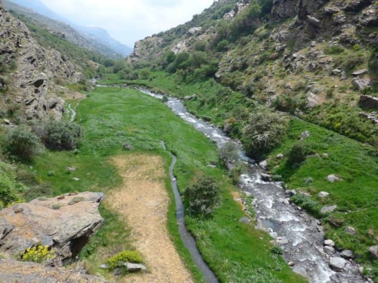
The middle section of the valley
After about 5km the Rio Culo Perro joins the Rio Trevélez from the west and a little way beyond a bridge over the river is reached. A convenient round trip to Trevélez can be made from here by climbing high above the western side of the river. 30 minutes further on and another bridge leads over to the western side of the river to bypass a large cliff face. The path crosses back to the east.
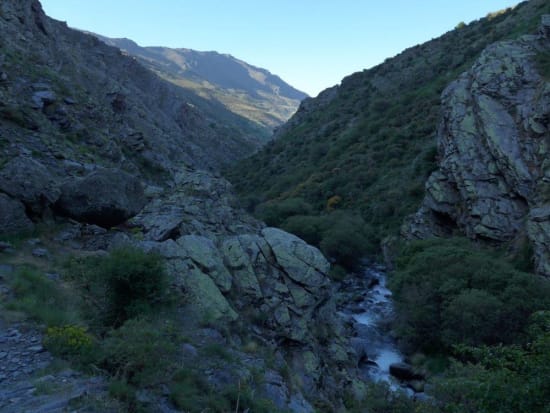
The steeper section of the ascent route
So far the ascent has been minimal, but now the hard work starts as the track starts to ascend above the river. A small pass is reached with the Horcajo area before you. The Rio Juntillas comes in from the left and the Rio Puerto de Jeres to the right. All is green and lush here and it is clear why it is such a good place for summer cattle grazing.
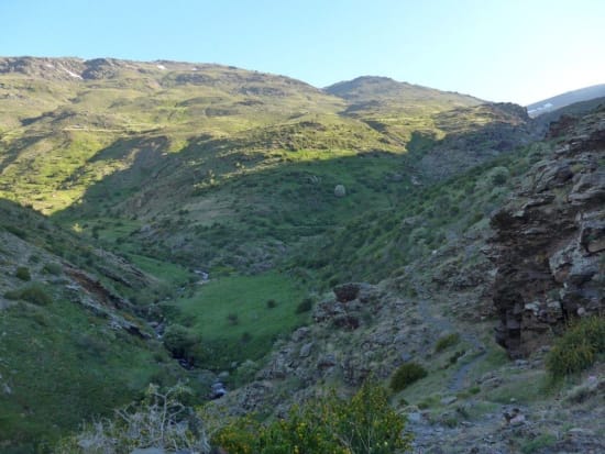
View of the Horcajo area
Drop down to the very boggy valley bottom, cross the river and follow the obvious trail (with a few marker posts) to a fence. Turn right and roughly follow the fence uphill until you encounter a sign "Fin de Sendero". What? Relax, don't worry. Follow the track and in a few minutes the refuge is just in front of you and 100m distant.
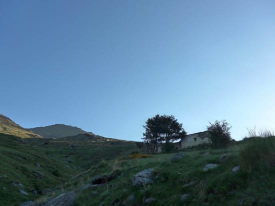
The Refugio Horcajo
The refuge is set on a small plateau alongside the Barranco de Sabinar. Water is plentiful. The refuge has 3 rooms, a fireplace and some small tables. It is quite clean and tidy (please leave it this way too!). Probably space for about 15-20 people. When I got there some of the floor was a bit damp so there is some water ingress from the roof. There are good views especially west towards the peak of Alcazaba.
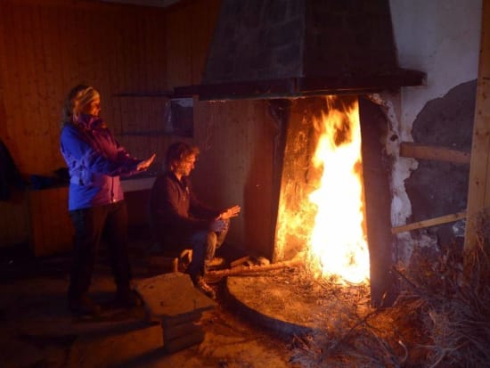
A warm and welcoming fire
It is a very special place. It is quiet, remote and makes a convenient start or end of a trek in the higher northern peaks of the Sierra Nevada. The total distance from Trevélez to the refuge is about 10km with 740m ascent involved. It took me a little under 4 hours but I took my time and enjoyed the delights of the valley en route.
