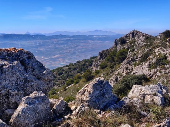
A report of an ascent in March 2021 of the Silleta de Padul by Richard Hartley of Spanish Highs
The peak of Silleta de Padul may only have a moderate altitude of 1534m but it does give superb views in all directions and is well worth the effort involved in reaching it's summit. I had only previously climbed the Silleta de Padul from the north, so thought it was about time I had a go from the south.
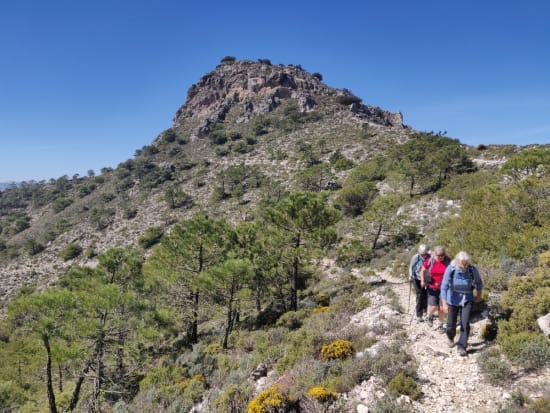
The plan was to approach via forest track from the town of Durcal. In this way we could reach a start point at 1200m. Unfortunately, the forest track had been closed to traffic due to landslips and cracks appearing in the road so we had to start some 200m lower and 3 kilometres further away.
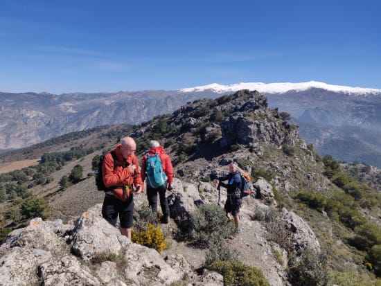
Walking along the road instead of driving along it was somewhat frustrating but the fine weather and views gave ample compensation. After an hour of walking we arrived at our planned start point and left the forest track by a well marked cairn. This path led to a small col east of the summit ridge of the mountain and was so well graded that the ascent was very easy and straightforward.
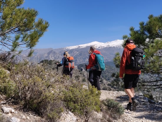
At the col of Collado de la Silleta we turned west and traversed the summit ridge westwards taking in various tops along the way. The route involved a few easy scrambling moves where the hands had to leave the pockets, but nothing more than that.
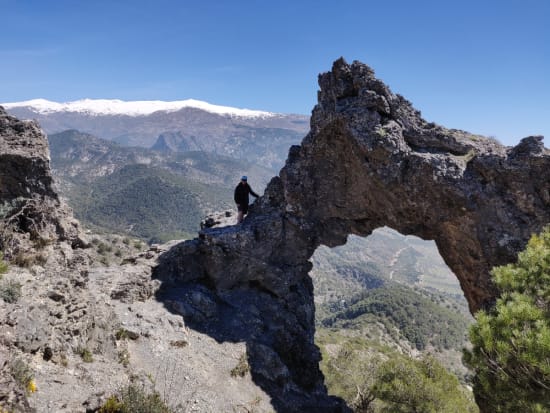
Although the actual summit with the obvious obelisk is named the Silleta de Padul, the highest top is somewhat east of this and unmarked by such fine adornments. It is a good place to sit and contemplate the meaning of life, whilst others are gathered taking selfies around the lower summit to the west!
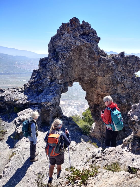
We continued our traverse westwards and then headed south for 500m to visit the feature known as the "Piedra Ventana" or "Stone Window" in english. A remarkable feature it is indeed ... well a ... stone window! Much bigger than I had assumed beforehand. Then we followed the delightful traverse path south of the summit ridge back to the Collado de la Silleta and continued our journey eastwards. This descent towards the east has the benefit of being very gentle. That means you have plenty of time to take in the magnificent view ahead of you. The whole west flanks of the Sierra Nevada from Veleta to the Cerro de Caballo lie ahead, looking even better in their winter garb.
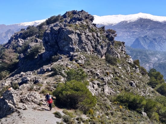
We took a slight detour to make the first British/American ascent of the (relatively minor) peak of Silleta del Manar (1476m) then retraced our steps and down to small col where we turned south down the Barranco de las Covazuelos. This very pleasant forest path led us easily down to rejoin the main forest track. We turned right and followed this back to the cars.
Our route with the forest road closure
- Distance: 15.5km
- Ascent: 700m
- Hours: 5 hours and 30 minutes
- Map: https://www.spanishhighs.com/mapping/silleta-de-padul.html
- GPX download: https://www.spanishhighs.com/gpx/silleta-de-padul.gpx
Route without forest road closures
- Distance: 9km
- Ascent: 465m
- Hours: 4 hours
