Construction of mountain shelters on the slopes of Sierra Nevada was begun in the sixteenth century after a slow but progressive deforestation, which lasted until the early twentieth century. This situation was regrettable.

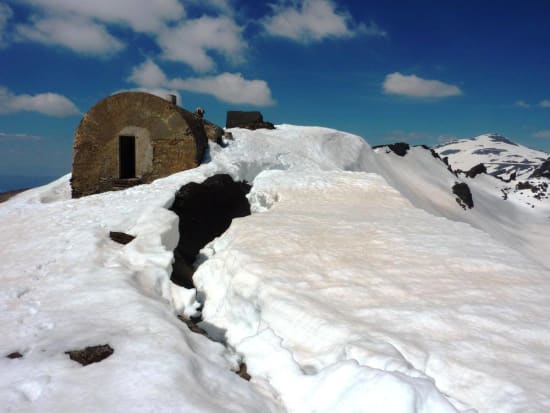
The Elorrieta hut June 2010
In 1916 Fernando Baró was informed of the situation: "In the Sierra Nevada the forests provide a framework for the alpine meadow, take away the naked landscape and prevent rain waters deepening precipitous ravines and carrying stones and gravel to Padul and Dúrcal. This produces huge landslides that make peoples homes disappear or have to relocate, such as has happened at Bayac and Carataunas and threatens others, such as Soportújar."
To remedy this problem came the Royal Order of October 9, 1928, which charged the Forest Research Institute with studying repopulation of the forest areas. This institute produced a draft which was approved by Royal Decree of July 16, 1929. Through this project Lanjarón Forestry Institute was created and that same year they acquired the first 2,500 hectares covering the banks of the Salado Torrente and the Rio Lanjarón, with a level of altitude covering 400m to 3200m.
The project development and execution of the work was handled by the civil engineer Jose Almagro Martin of Granada, who was very knowledgeable in the Sierra Nevada area, and who died in 1943.

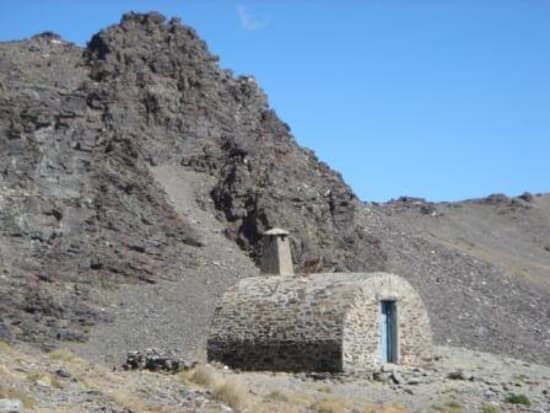
The Caballo hut
The project proposed use a variety of species and to stagger the vegetation to derive the best results. Marking out the river above Lanjarón, they planned the construction of a series of mountain huts.
The highest of them all was the Elorrieta. This was equipped with heating, lighting and had water installed, thanks to a generator. This could accommodate 24 workers, in addition to medical staff and its name is a tribute to Director General of Forests, Octavio Elorrieta. This hut was later followed by further huts at Terreras Azules, Cerrillo Redondo, Ventura, El Caballo, Peñón Colorado and the unfinished Lanjarón.
Below the Elorrieta and near the ridge junction with the Pico del Cartujo some alottments were created for growing produce. This esplanade close to the Elorrieta is surrounded with rocks and has a square shape. Contrary to popular belief it is not a football field or a UFO landing area!
Thanks to those two great connoisseurs of the history of Sierra Nevada, D. Tito Manuel Martinez, a historian and writer, and Antonio Castillo Rodriguez, photographer, mountaineer and writer for the information.
All of these huts are now in a ruined or semi ruined state but can provide useful shelter in the high Sierras. More information
