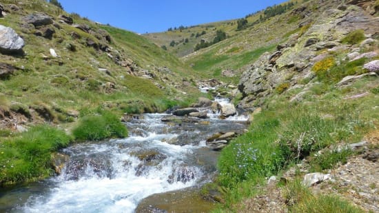
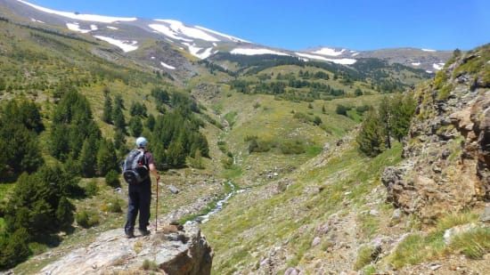
As it is linear it does need the benefit of a friendly driver to help with the transport. It utilises a high vehicle track and a direct climb to gain height rapidly. Then comes a delightful descent down through pine trees and crossing streams before meeting a forest track above Puente Palo.

The Rio Chico
This is a 10.81 km Walk in Capileira, Spain. The walk has a total ascent of 402m and has a maximum elevation of 2,699m. Descent of nearly 1000m.
-
Drop off is on the high road to the La Piuca refuge on the western side of the Poqueira valley high above Capileira
-
Ascend dry barranco to it's head and eventual meeting with the south ridge of Las Alegas
-
Follow the ridge north to the summit of Las Alegas (2700m)
-
Walk north for 300m before dropping down left on pathless terrain to join a rough track
-
Follow the intermittent track SW alongside the mountain dropping gradually to the Refugio Cebollar (ruin)
-
Follow the nearly level trail towards the prominent rocks
-
A track goes back alongside the upper edge of the forest. This enters the forest and takes care to follow.
-
Emerge from the forest, drop height and pick up a good path that leads to the junction of rivers
-
Cross the river (slightly easier upstream if in spate) and pick up good track on far side
-
This leads easily down to join the forest tracks that lead to Puente Palo

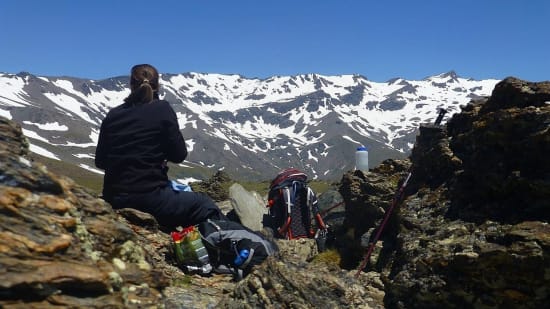
Enjoying the view on Las Alegas

Junction of upper Rio Chico rivers
