As Alcazaba (the "Fortress") is nearly surrounded by cliffs most trekkers take the simplest route from the South East. For those with a spirit of adventure and a head for heights there are better routes. We revisited a route last week that makes a quality day's trekking to the summit of this fine peak.

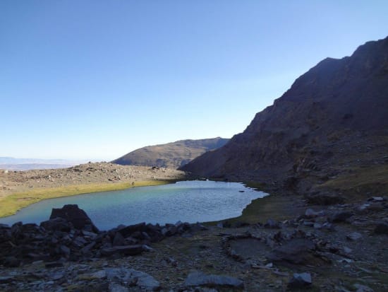
Early morning Laguna de la Mosca
Alcazaba has been a favorite of ours for many years. Why? Well, it is quiet due to it's remoteness and also makes a fine viewpoint for much of the main Sierra Nevada peaks.
The usual route is from Siete Lagunas to the SE, either through a small pass or along the line of crags bordering the southern edge of the summit plateau. Even this is not straightforward in mist and good map and compass skills will be required if caught out on the summit plateau in cloud.
Another route goes up a rough scree gully from the uppermost lake of Siete Lagunas and breaks through the crags to the plateau. There is a decent path and it is even marked with a large cairn at the top, assisting the descent.
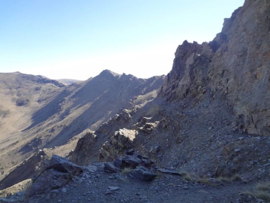
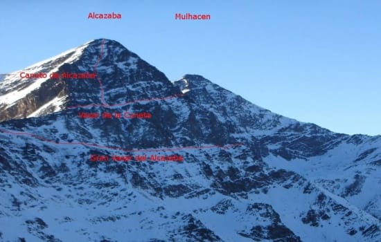
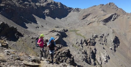
However we consider the best route for the most adventurous starts from the Laguna de la Mosca to the SW. A path known as the "Grand Vasar" cuts northwards across the NW face of Alcazaca. Above and below are big crags but nowhere is it dangerous. The crest of the "Espolon de Alcazaba" ridge is crossed. This makes a superb summer of winter mountaineering venture.

On the Grand Vasar
Eventually the main ridge N of Alcazaba is reached. Turn right and go up the ridge until a second Vasar (Vasar de la Cuneta) comes in from the right. Take this until the first gully in met (Corredor/Canuto de Alcazaba).
Climb the gully which is steep and a bit loose. There are a few rock steps encountered, but in general it is simple scrambling. A great way to reach the summit but not recommended as a descent route.
The photo below is in winter but does show the routes illustrated in the text.

alcazaba-nw-face-aspect
